
LRI is promoting the use of specialized mapping tools and adapted technology in native tree reforestation activities, private sector and diaspora engagement in reforestation projects in the country. One of the most novel technologies adopted by the LRI is the use of Geographic Information Systems (GIS), remote sensing software, and the ArcGIS Online platform in the reforestation process.
The primary goal of LRI’s web mapping efforts is to enable reforestation specialists to use and share maps and data related to suitable planting sites, site planning and monitoring, vegetation mapping, wildfire prevention, climate change impact on species distribution as well as on environmental threats, by projecting spatial data about environmental and social characteristics onto maps of specific areas of interest. Moreover, the mapping platform will enable reforestation stakeholders to reach out to the private sector and the diaspora with reforestation proposals presented as story maps.

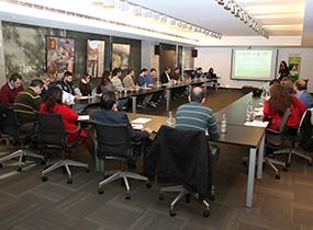
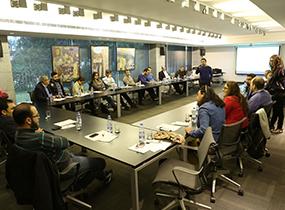
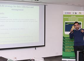
In the framework of updating the LRI’s web-mapping platform, LRI organized a one-day workshop on February 2nd, 2016 entitled ″Launching LRI’s Reforestation Web-Mapping Platform on ArcGIS Online - Introduction to Accounts Users Training″. This workshop was attended by some of LRI’s partners such as: Jouzour Loubnan, Association for Forests, Development and Conservation (AFDC), Bentael Nature Reserve, Save Energy Plant Trees (SEPT), FAO – Forest and Landscape Restoration Mechanism project (FLRM), University of Balamand, Lebanese University, Cooperative of Native Tree Producers of Lebanon (CNTPL), and the MoE and the MoA as well as a representative from ESRI Lebanon. During this workshop, the mapping team introduced to the attendees the LRI new web-mapping platform on ArcGIS Online that will enable the account users to take a concrete role in updating and disseminating information and maps online.
