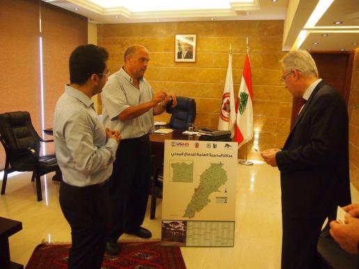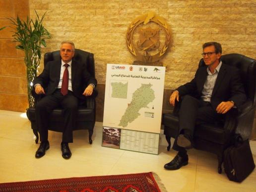


As part of its wildfire prevention program, LRI recently assisted the Lebanese Civil Defense in building an electronic database of all Civil Defense centers throughout Lebanon. Using GIS technology, digital location information and other data related to Civil Defense centers was gathered into a central database that includes the location and emergency contact details of each center, as well as available resources within each center such as firefighting vehicles, ambulances, and other disaster response equipment. With the new electronic database, Civil Defense staff can quickly generate a range of maps to help pinpoint the exact location of the centers, access current contact information, and assess fire risks according to the vicinity and accessibility of the nearest fire fighting resources. A tutorial was provided to Civil Defense staff to enable them to regularly update the map using QGIS, an open source software application.
The map will be published on the Civil Defense website and distributed in print to civil defense centers and communities and municipalities throughout the country as a resource in case of wildfire.
Through funding by the US Agency for International Development, the US Forest Service has been cooperating with Lebanon's Civil Defense since 2009. Currently, LRI is working with Civil Defense, together with the Lebanese Armed Forces, the Prime Minister's Unit on Disaster Risk Reduction, Internal Security Forces, and the Red Cross, to promote enhanced interagency coordination for wildland fire response.
Please click on the below link to download a pdf version of the Civil Defense Centers Map:
https://www.dropbox.com/s/09pqhnapxnpfig6/A1%20Civil%20Defense%20Map.pdf