


The Lebanon Reforestation Initiative (LRI) unveiled on October 3, 2013, “The Reforestation Web-Mapping Platform of Lebanon” (www.lri-lb.org), a user–friendly mapping database that will serve as an online reference center for sustainable reforestation in Lebanon. It brings together cutting-edge special natural resource mapping technologies with advanced computer modeling for the identification of priority reforestation sites throughout Lebanon and the monitoring of existing and future forested areas.
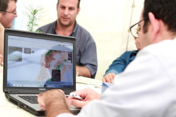
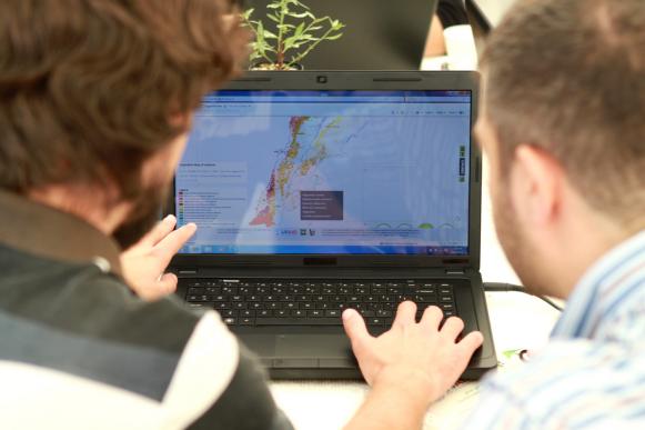
The launch was attended by more than 100 people representing various local institutions, such as ministries and municipalities, international donors, local reforestation organizations, universities and research facilities, as well as local groups and private sector representatives interested in reforestation and fire management. Participants were able to explore the web-based platform tools and data through hands-on manipulation of the online resources.
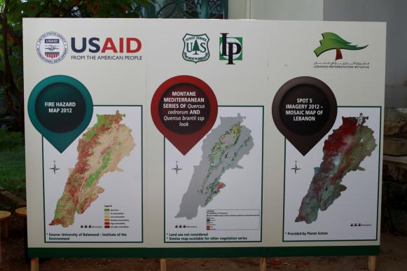
Developed by the Lebanon Reforestation Initiative (LRI), a project funded by the United States Agency for International Development (USAID) and implemented by the United States Forest Service (USFS), the new web-based platform builds on previous achievements of Lebanese institutions and academics who developed numerous maps and data sets related to forest and vegetation inventories and other biophysical and fire threat data. It is devised to compile, update and disseminate information needed to effectively manage reforestation projects and threats from forest fires. This information was previously dispersed and at times unavailable.
The new reforestation mapping platform delivers cutting-edge online interactive maps that are accessible and easily used by reforestation practitioners to identify priority sites for reforestation, monitor forest tracks, anticipate appropriate native tree species, consider forest fire threats – all at a high community-level resolution. Maps include an updated digital vegetation map of Lebanon, environmentally suitable reforestation sites nationwide, including their biophysical characteristics and recommended native tree species to be planted, fire hazard, and more.